New NASA Video Shows SWOT Satellite Deploying Enormous Scanning Antennas
Last month, NASA’s Surface Water and Ocean Topography (SWOT) satellite headed into orbit aboard a SpaceX Falcon 9 rocket. Once fully online, the spacecraft will provide height measurements of Earth’s surface water with unprecedented detail. Before it can do that, SWOT needed to deploy the massive antenna arrays that allow it to make those precision measurements. NASA says the initial deployment has gone perfectly, and it just so happens SWOT has some cameras so you can watch a replay. The deployment took days, but luckily, you can watch it at a vastly accelerated rate.
SWOT launched on Dec. 16 from Vandenberg Space Force Base.
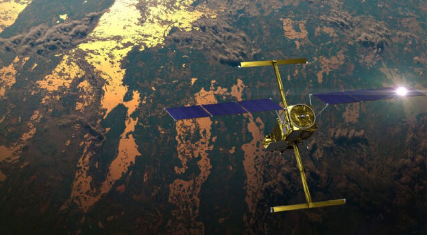
The team carefully monitored KaRIn during deployment, which took a whopping four days. They relied on telemetry data, as well as images from the spacecraft’s four cameras. These are not scientific instruments — JPL engineers modified commercial-grade cameras and affixed them to the hull in order to record the solar panels and KaRIn antenna deployment. And that’s why we have this nifty record of the satellite’s boom arms extending.
In the video, you can see the antenna booms unfolding from each side of the spacecraft. The video actually consists of a series of still photos, but they were taken over the course of four days, making it a timelapse of the operation. NASA says the process , leaving the two antennas 33 feet (10 meters) apart.
SWOT’s Ku-band antennas beam radio signals down to Earth, focusing on the same 60-mile-wide swath of the globe. The signals from the antennas return at varying times, and by combining that phase difference with the radar wavelength and distance between the antennas, it’s possible to accurately calculate the height of the water. That’s why the antennas need to be at the end of long masts that take four days to safely deploy in orbit. But with that done, SWOT can begin scanning surface water, revealing currents and eddies that were previously impossible to map from space. Scientists hope that data from SWOT will help shed light on the effects of climate change and rising ocean levels.
Now read: